20.11.05


Solo con perro.

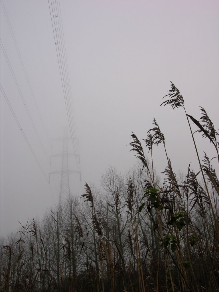
Lokeren to Moerbeke. Just into Belgium. A bit sad weather with low clouds and mist. Only 2-5 degrees Celsius. Extremely simple trip: along an old railway track, the remainder follows the Moervaart, a winding canal to drain off the land after man build a big canal: that from Gent to Terneuzen. This canal prevented the natural run off of water.
100% flat. A restaurant/bar at start and finish and one in the middle too in case 14 km can't be done in one go.

Probably also a prerequisite for Belgian hikers.
Rating: ++

14.11.05

Sunday 13th November 2005.

Gr579: from Huldenberg (GR) to Bosut (GR) and on to Hamme Mille.
We left at 8.30 and took 1.30 hrs to get to Hamme Mille where the hourly bus No 344 of the Lijn dropped us 28 minutes later in Huldenberg, the starting point of our hike. Well marked (at times) and bright sunshine, freshly ploughed undulating fields with a hint of mist in the morning brought us 30 km later to our car.
From the most southerly point of this route, near the railway station in Tileul, we left the GR and followed for a short distance the railway, crossed a field and were friendly asked wether we were "perdu" when we walked a very quiet forest lane leading to a castle. We were equally friendly given permission to cross the estate. Past the railway we followed for a short distancethe main road from Waver to Leuven. App. 7 km on a back road we arrived at Hamme Mille. A tarmac road to the east of Bosut carried the well known red-white bars from our lost GR.
At darkness, tired after the 7 hr trip we sank into the seats of our Nissan Prairie.
Summary: Fantastic scenery close to Brussels. Alt.max: 104 m. Alt min: 35 m. Rating:****
2.10.05


1-10-2005
Walking the GR 129 between Landelies and Le Bultia.

Transport: Train Charleroi Sud to Landelies (hourly sevice). Le Bultia: TEC bus No 451 to Charleroi Sud.

Distance: 23 km. Alt.max: 232 m. Uphill: 258 m. Total avg. speed: 3,8 km/hr. Moving: 4.50 hrs. Resting: 1 hr.

18.9.05

Saturday 17 september 2005.
The dog was my companion today. At 9.30 I left by bus (De Lijn No 21) from Sint-Maria Oudenhoven dorp to Ronse railway station. From here on with TEC line 87b to Crimont. At 9.07 northwards on the GR 129 untill the turnoff. East onto GR 122 + GR5a. In Brakelbos the latter turns right and the 122 (direction Zwalm on the sign post) carries on straight up to Sint Goriks Oudenhoven and arrive 6.30 hrs after departure at Grimont. It takes another 30 min. to Sint-Maria Oudenhoven where I parked the car.

Highest point 153 m. Reasonable variation in landscape. Mostly sunny.
Total distance covered: 32 km. Alt.max. 153 m. Quite a few small hills. Total time 8.45 hrs of which 1 hr resting time.
Personal rating: +++

4.9.05

2-9-2005: hiking the GR129 from Lens to Bouvignies: 22 km. Add another 2,5 km to Ath's railway station. The station in Lens is a mere 300 meter from the GR.
Time it took: total 7.00 hrs. of which 1,30 hrs. resting. Total uphill: 180 m. Alt.max. 77 m. Alt.min: 41 m.
Fairly flat with little shade but wide views. Temperature this day 26-29 C. Rating: ++

27.8.05

20-8-2005 Hiking from Ronse to Ath
11.00: train from Ath to Lessine from there on with the bus to Ronse railway station: app. 45 min.
In Ronse take GR5a+GR122 to east and later on the Kanarieberg turn right. For a short distance GR5a, GR122 and GR129 run together. Follow GR129 to Bouvignies and leave GR129 and walk 3 km to Ath railway station.
Plenty of hills (up to 140 m), unpaved roads, kilometers (37+3) and rain (6 out of 7 hrs). Nevertheless beautifull.

31.7.05

30-7-2005: GR 122 Pottes-Obigies: 25,2 km, 5.28 hrs walking; 1.11 hrs resting. Hardly any altitude changes.