Walcourt-Famouilx
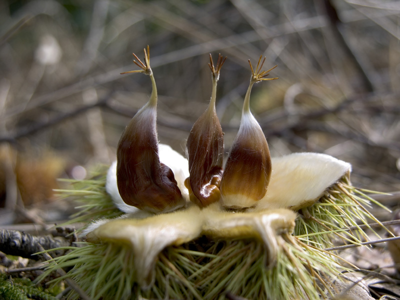
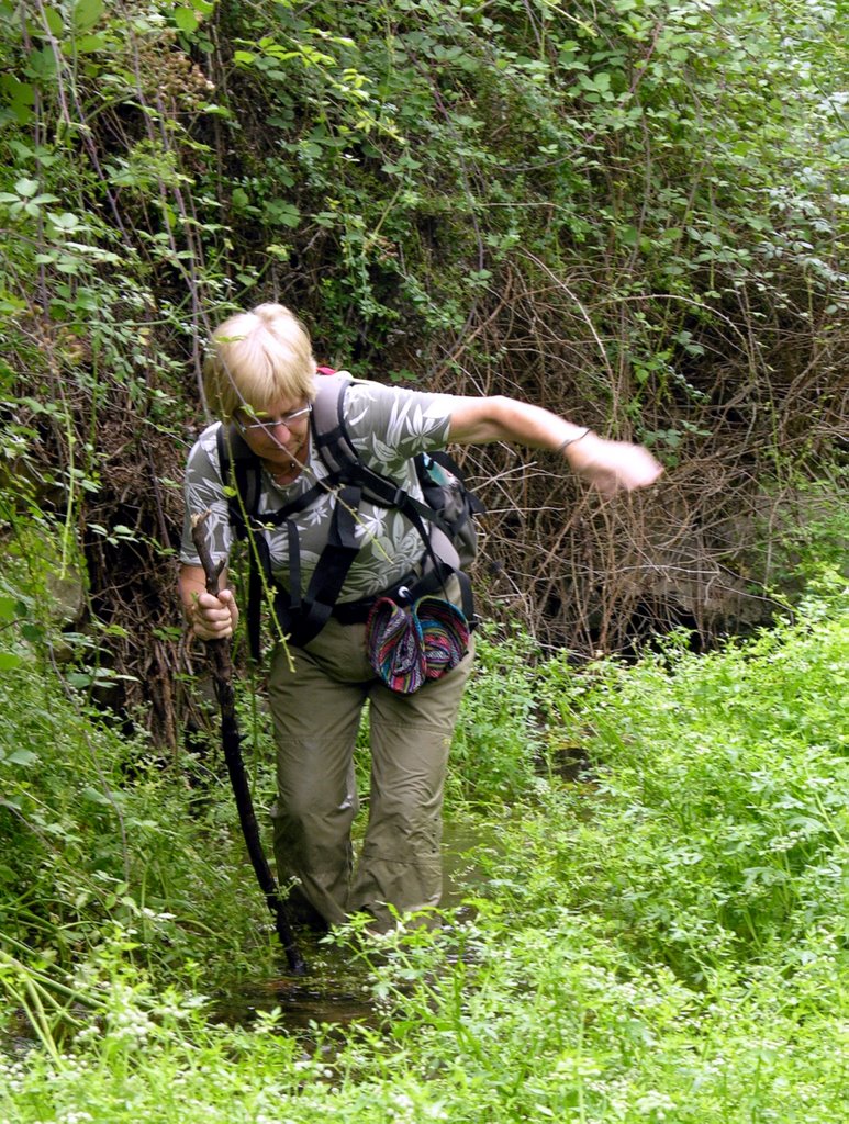
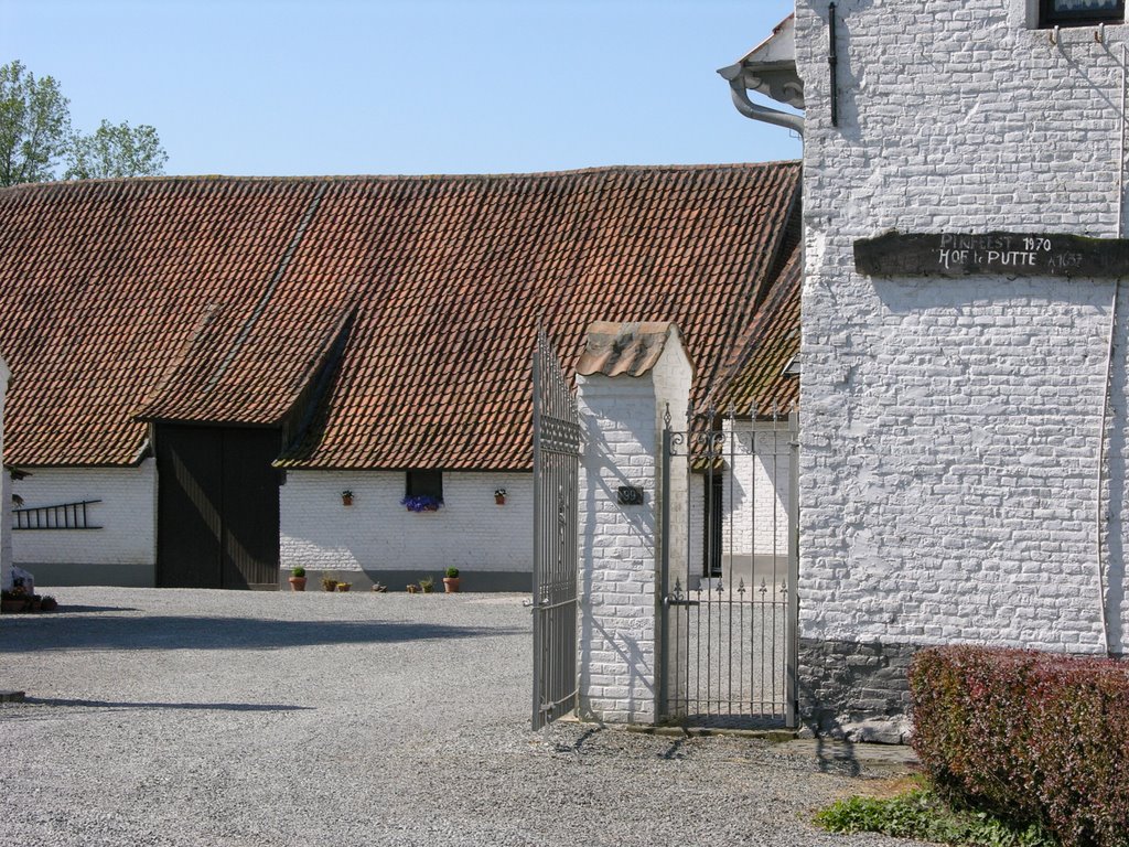
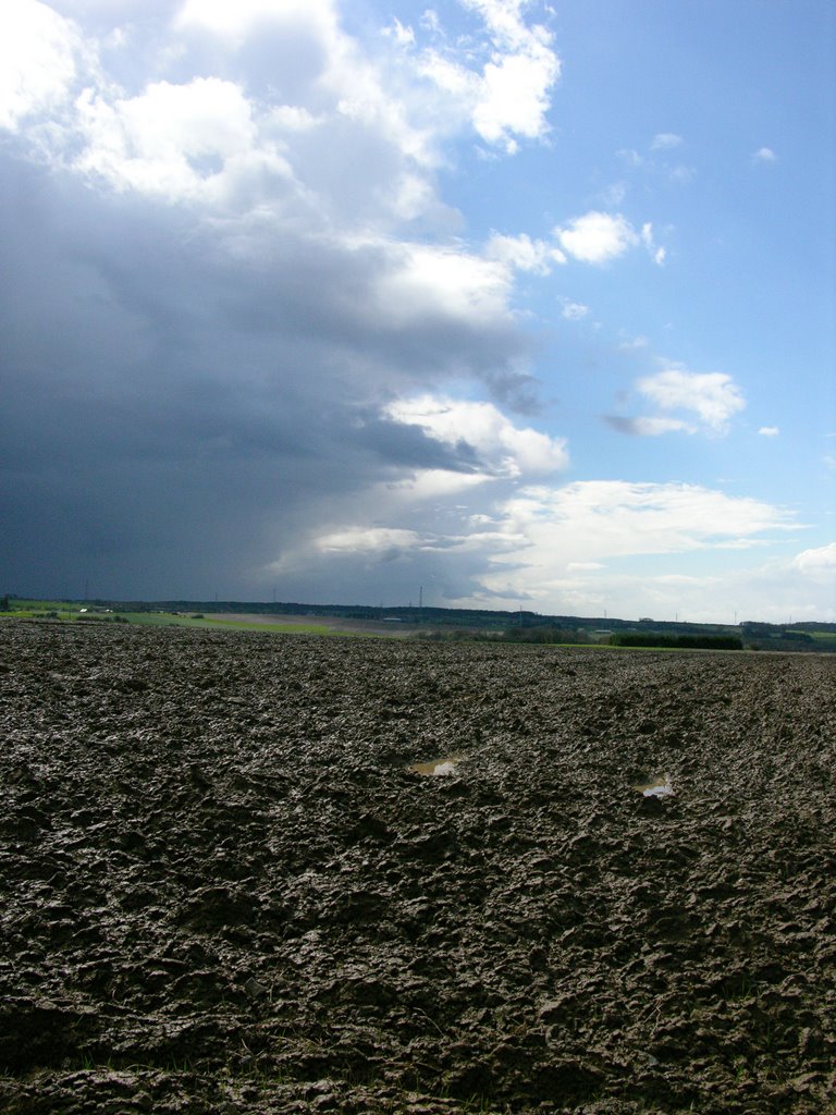
 The GR12 runs from Amsterdam to Paris. On Saturday 12th November the 2 hrl. train brought us in 14 min. from Famioulx to the starting point. The weather forecast was good and sunshine and strong winds accompanied us when we left Walcourt to enjoy the rolling hills. Many of them still covered in green. The trees are partially devoid of their green foliage. After mere 1 km we were stopped to continue our path into the forest because of hunting. A victory of the appreciation of man's primitive roots. It took us a good 7 km (2 hrs.) to circumvent the woods using concrete roads. nevertheless, the landscape was beautiful and hills were followed by wind breaking forests. The sun left us and in darkness we entered Famioulx.
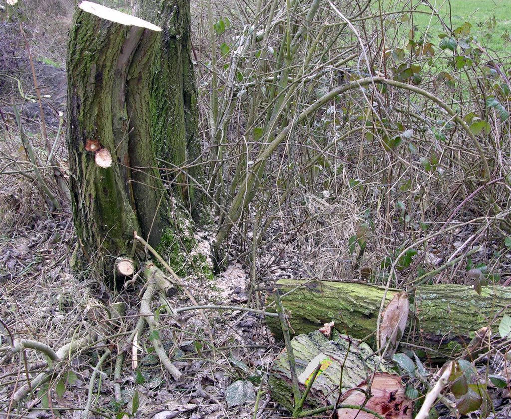
An very enjoyable stretch of the GR12 with lots of ups and downs.
Our rating: ****
 The GR12 runs from Amsterdam to Paris. On Saturday 12th November the 2 hrl. train brought us in 14 min. from Famioulx to the starting point. The weather forecast was good and sunshine and strong winds accompanied us when we left Walcourt to enjoy the rolling hills. Many of them still covered in green. The trees are partially devoid of their green foliage. After mere 1 km we were stopped to continue our path into the forest because of hunting. A victory of the appreciation of man's primitive roots. It took us a good 7 km (2 hrs.) to circumvent the woods using concrete roads. nevertheless, the landscape was beautiful and hills were followed by wind breaking forests. The sun left us and in darkness we entered Famioulx.
An very enjoyable stretch of the GR12 with lots of ups and downs.
Our rating: ****