24.7.06


The GR128
From Wolvertem to Mazenzele


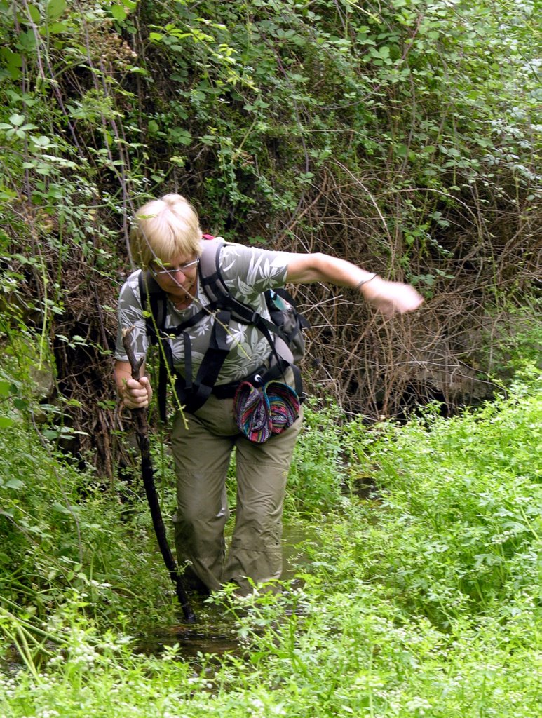
8-7-2006. Wolvertem on the old freeway from Antwerp to Brussels. We parked our car in Mazenzele and left a bike (for me to come back on) in Wolvertem. Right onto the small fields paths and away from tar and car.
Almost the entire route consisted of non paved roads and amazingly we encountered few dogs and only an occasional sewer smell bothered us.
Halfway we "discovered" the starting point of the GR126.
It is a fairly flat section of the GR128 with a max. altitude of 80 m. The lowest point being at 20 m.
It took us 6 hours to cover the 19,9 km.
Personal rating ****

11.7.06


Poco de Inferno 22-6-7

Manteiras in the Portugese Serra de Estrela was the starting Point of our 18 km trip to the Poco the Inferno, an impressive waterfall in this protected highland area. And due to the Portuguese dislike of strenuous walks there is a fully paved road to this site. Not that we saw many people on this weekday: only a Belgian couple enjoying the absences of humans. The 6 km path to the Poco is largely unsealed and fairly steep. The scenery is beautiful. The way back is all tar but that didnĂ‚’t matter so much because there were few other traffickers.

A triangular walk of 18 km. Fairly good ascent the first 6.

Personal rating **

10.7.06

Deep in the valley on 20th June 2006


Portugal, Porto de Mos. A South African Young couple exploits an old paper mill on a 20 ha large farm. Walking: free. So we took to the hills in the bright cool morning. The path was hilly but far less than what we were used to. Soon we get a nice, although hazy, view on the local Moor castle which gradually disappears behind the hill. The farm borders the National Park. We head north and planned to come back along the valley floor. Suddenly our path ends in an new olive yard so we followed the dry river bed. Pleased with the progress we thought it to be a good decision until pools appeared full with weeds and rimmed by wild rose bushes and the spider branches of numerous blackberries. Our simple knife was all we had so we had to take chances, got badly bruised and did not care anymore about staying dry. The water was clear and clean. Stone walls at the river banks indicated human interference and the nearby farm. We strained our stiff muscles to the limit to climb it and arrived in a backyard and eventually to the farm’s swimming pool. We made it at last.

Distance: 7,3 km. Highest point: 286 m. Lowest 146 m.

Rating: ***